What this paper found
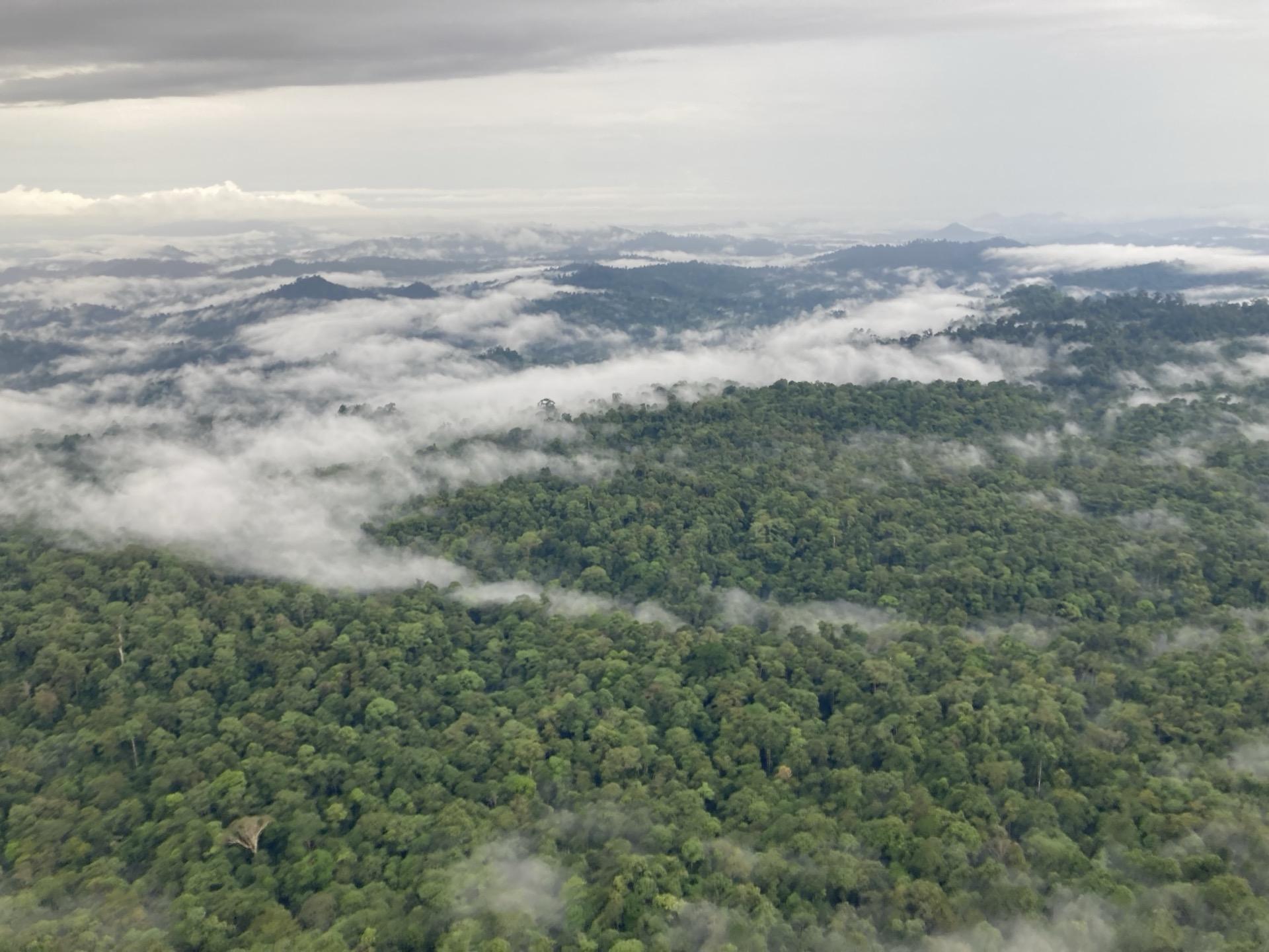
New methods for estimating tropical forest canopy height by combining airborne LiDAR with multi-spectral optical satellite data using machine learning. Demonstrates that reliable canopy height estimation does not require expensive data sources or complex deep learning methods.
How this informs belian.earth’s work
Reliable canopy height estimation from free satellite data lowers the cost barrier for monitoring forest carbon projects, especially in data-sparse regions. This is the kind of accessible baseline that belian.earth builds on.
Frequently asked questions
How can tropical forest canopy height be estimated from remote sensing?
+
Airborne LiDAR produces accurate canopy height maps but is expensive and lacks continuous coverage. This study in tropical forests compared machine learning approaches for predicting canopy height from freely available satellite imagery, finding that open-access Sentinel-2 data combined with Random Forest models performed comparably to more complex approaches using commercial imagery. For forest carbon monitoring, this demonstrates that reliable canopy height estimation does not require expensive data sources or complex deep learning methods.
Want more like this?

Read our take
The carbon baseline problem nobody wants to talk about
The carbon market has an integrity problem. But while the industry obsesses over which biomass map to trust, the real uncertainty is in the carbon baseline.
Read article
Stay in the loop
Stay up to date with developments in independent reference area selection and carbon market baselining.
Related papers
Evaluating GEDI for quantifying forest structure across a gradient of degradation in Amazonian rainforests
Emily Doyle et al.
Environmental Research Letters, 2025
Read more
Repeated drone photogrammetry surveys demonstrate that reconstructed canopy heights are sensitive to wind speed but relatively insensitive to illumination conditions
Glenn Slade et al.
International Journal of Remote Sensing, 2025
Read more
Mapped aboveground carbon stocks to advance forest conservation and recovery in Malaysian Borneo
Gregory Asner et al.
Biological Conservation, 2017
Read more
Citation
Pickstone, B.J. et al. (2025). Estimating canopy height in tropical forests: Integrating airborne LiDAR and multi-spectral optical data with machine learning. Sustainable Environment. https://doi.org/10.1080/27658511.2025.2469406